Research Projects
Stop the VideoResearch Projects
STATUS: Complete
YEAR: 2019
TOPIC AREA: Safety and security Vehicles and infrastructure
CENTER: PSR
BridgeR -- a Regional Seismic Hazard Assessment Tool for Transportation Networks and its Application to Freight Loss Assessment
Project Summary
Project number: PSR-17-05
Funding source: US DOT
Contract number: 69A3551747109
Funding amount: $105,000
Performance period: 11/1/2019 to 10/31/2020
Project desription
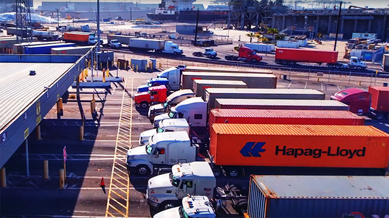
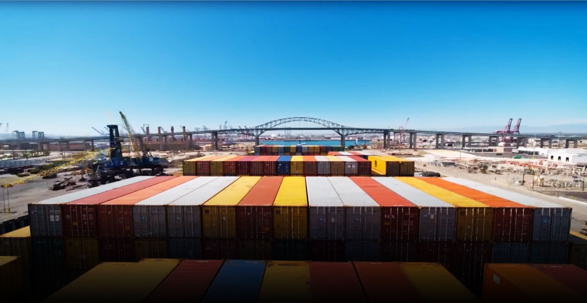
The first objective of this project is to develop a GIS-based database that will contain data and meta-data harvested from openly available sources-specifically, archival journal papers, public reports and guideline documents, and Google Street View images- for a set of highway bridges. This database will eventually enable experts from multiple domains-e.g. bridge engineers, city and traffic planners, first responders-to carry out tasks such as emergency traffic planning, load rating of older bridges, life-cycle cost-benefit assessment of a given bridge. The second objective is to devise a computational toolbox that will interact with the database to produce a regional seismic risk/loss assessment of the targeted transportation network. The said toolbox will produce quantitative results in the form of site- and structure-specific seismic bridge fragilities, which will enable pre-event regional economic loss studies, as well as rapid post-event assessment reports. The third objective is to produce a third tool that will enable financial loss studies on freight traffic due to large scenario-based earthquakes. The fourth and final objective of this project is to demonstrate the utility of the aforementioned databases and analysis tools by applying it to the freight traffic to and from a region in Southern California in the aftermath of a hypothetical scenario-based earthquake. The seismic fragilities and freight data will be used to explore how much a given pre-event mitigation effort will minimize financial losses-in the form of, for example, recommended priority retrofits and maintenance runs, construction of redundant routes, and temporary routing plans until full recovery. It is important to note that the aforementioned database and analysis tools will be expendable to a plethora of other applications related to the utility, functionality, and natural and anthropogenic hazard exposure of California's transportation network.
P.I. NAME & ADDRESS
Ertugrul TacirogluProfessor, Department of Civil and Environmental Engineering
5731E Boelter Hall
Los Angeles, CA 90095-1593
United States
[email protected]
CO-P.I.
JR DeShazoDirector, Luskin Center for Innovation
337 Charles E Young Dr
Los Angeles, CA 90095
United States
[email protected]
Major Funders


Metrans Associate Partners