NYC Transit Oriented Development Project
Stop the VideoNYC Transit Oriented Development Project


NYC Transit Oriented Development Project
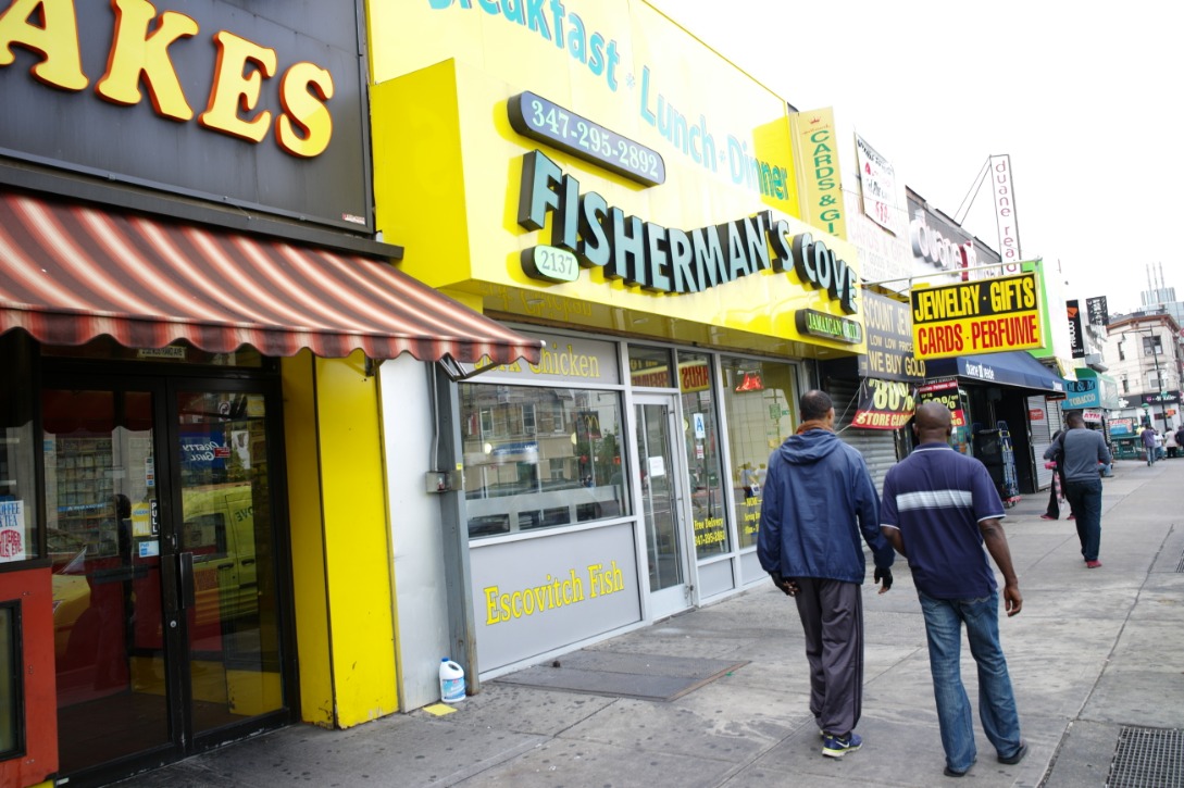
Inspired by the photos of Professor Emeritus Martin Krieger, this project documents areas surrounding subway stations in New York. The story map project is a five-part series divided based on geographical areas of New York with a total of about 500 photos mapped, approximately 10 photos for each station. It explores the street infrastructure and the influence of culture from the communities around transit stations.
Story Map 1: Brooklyn Stations
Story Map 2: Brooklyn & Staten Island Stations
Story Map 5: Manhattan/Jersey City
Major Funders


Metrans Associate Partners